20th Jul, 2022 10:30
Militaria, Maps & Ethnographica

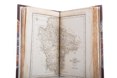
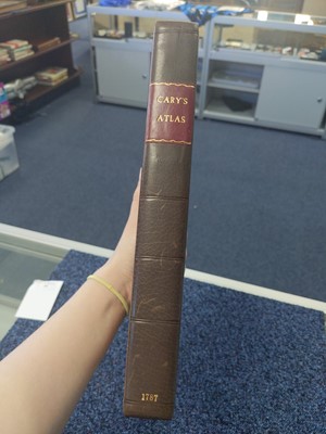
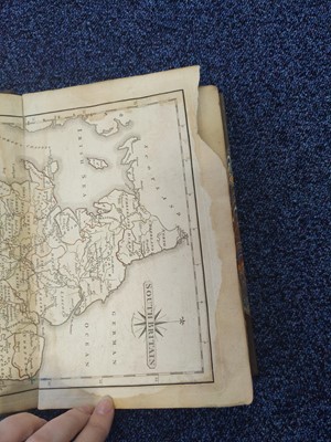
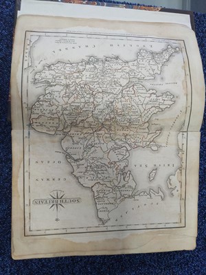
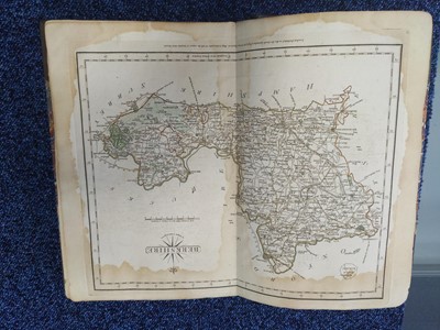
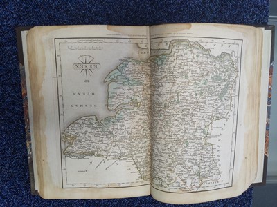
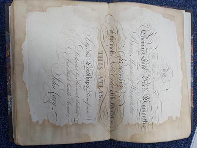
CARY'S NEW AND CORRECT ENGLISH ATLAS
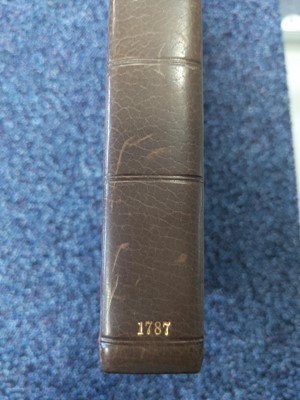
CARY'S NEW AND CORRECT ENGLISH ATLAS,
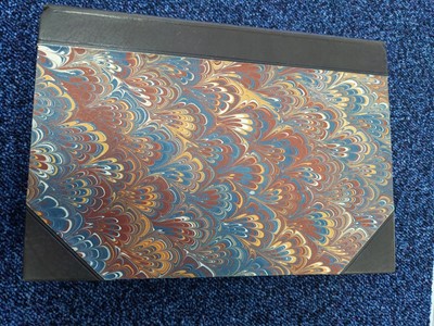
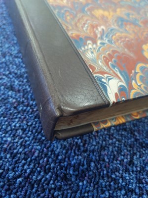
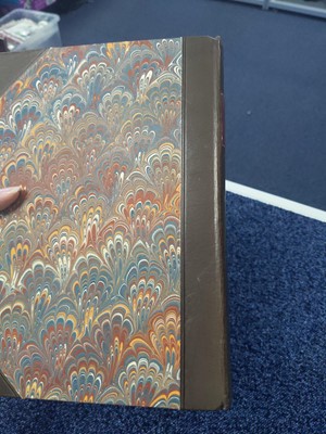
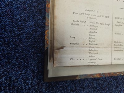
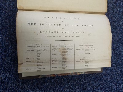
Being a New Set of County Maps [...], pub. London 1787, with 47 maps and folded 'Directions for the Junction of the Roads [...]' charts to end, in half morocco and marbled boards
A Private Scottish Highlands Collection
A condition report is offered as an indication of any issues visible to the naked eye. As none of our staff is a professional conservator or restorer, buyers must satisfy themselves in respect of condition. The condition report does not form part of any contract between McTear's and the buyer, and all lots are offered "as is" in accordance with our Terms of Business available on our website.
Sold for £170
Estimated at £100 - £200
Condition Report
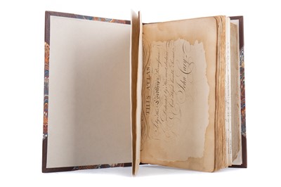
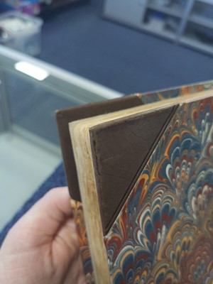
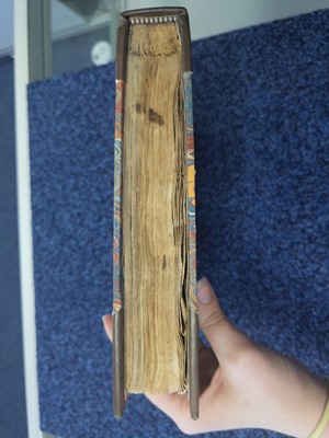
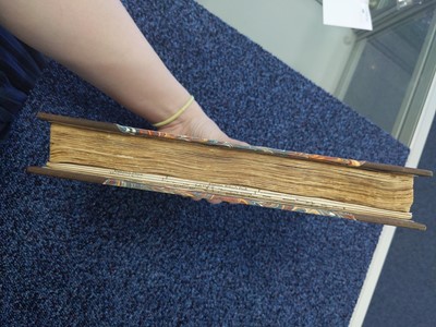
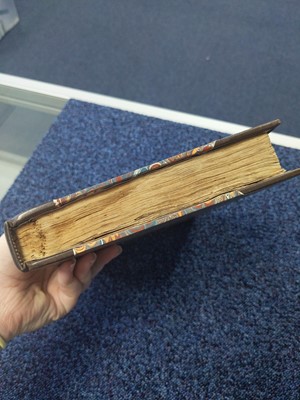
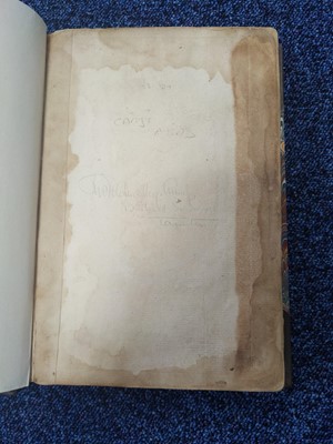
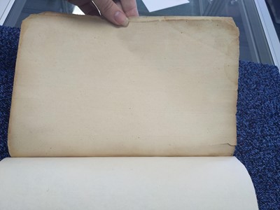
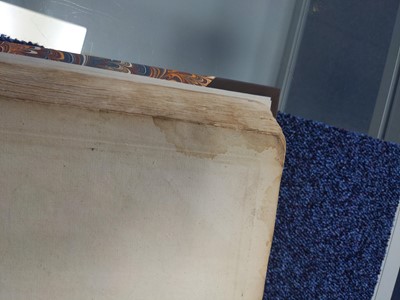
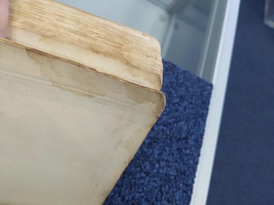
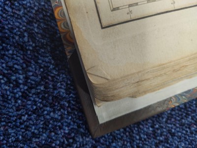
Binding in generally good condition, with some general surface wear present in keeping with age and use. Staining throughout the borders of the pages. Torn section of loss to one page, small tear to one of the back pages and dog earing/ nicks to the page edges throughout, also in keeping with age and use.
Maps listed in contents present.
Additional images available.
Request a free auction estimate
Complete the form below and one of our specialists will get back to you.

